A wide, sweeping photographic view of the Aare river shortly after its confluence with the Rhine, the broad turquoise current curving gently through a flat, green riverscape. Sandbanks and gravel bars break the surface, their wet stones glistening subtly. In the distance, low wooded hills and a pale, hazy horizon suggest the beginning of a long journey inland. Soft late-afternoon natural light creates a calm, even illumination with gentle reflections shimmering on the water. Shot from a slightly elevated viewpoint with sharp focus throughout, using a clean, realistic style suitable for a professional travel guide, conveying openness, scale, and the sense of a route that follows the river upstream into the heart of Switzerland.

Aare entlang wandern

Erkunde die Aare von ihrer Mündung in den Rhein bis hoch zur Grimsel. Etappen, Karten und Fotos helfen dir, die gesamte Flussroute Schritt für Schritt zu entdecken.

A detailed, realistic photograph of a Swiss river hiking map spread out on a weathered wooden viewing platform above the Aare, showing the route from the Rhine mouth to Grimsel. The laminated map surface catches soft overcast daylight, with clearly visible contour lines, stages, and blue river course. Beside it lies a compact metal compass and a folded, brightly colored hiking brochure labeled “Aare entlang”. In the background, slightly out of focus, the Aare flows below between forested banks. Captured from an eye-level close-up angle using shallow depth of field, the mood is focused and informative, emphasizing planning and orientation for multi-day river hikes in a clean, professional travel documentation style.

Über

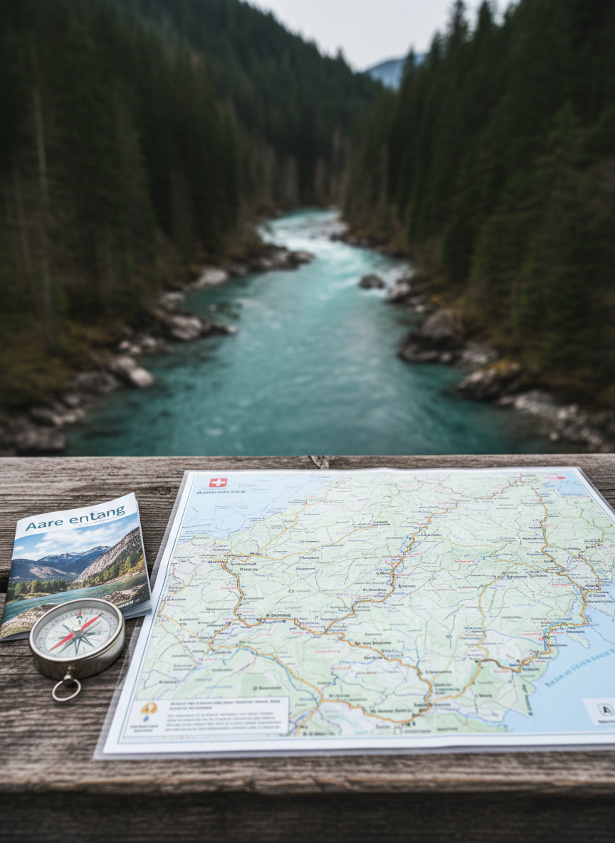
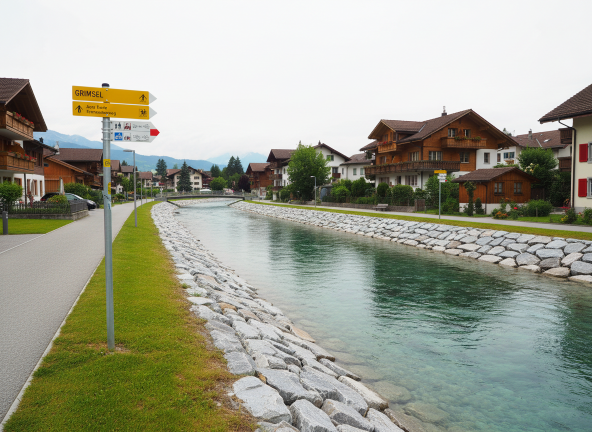
Diese Seite begleitet deine Flusswanderung entlang der Aare von der Rheinmündung bis zur Grimsel. Hier findest du Etappenbeschreibungen, Kartentipps, Packhinweise und persönliche Eindrücke, damit du deine Tour sicher, entspannt und in deinem eigenen Tempo planen kannst.

A high-resolution, photographic close-up of the Aare’s signature turquoise water swirling past rounded granite boulders near a narrow gorge. Fine bubbles and streaks of white foam trace dynamic patterns on the surface, while moss-covered rock faces frame the edges of the image. Diffused, slightly cool daylight from an overcast sky reduces harsh shadows and brings out subtle variations in the green-blue tones. Shot from directly above with a bird’s-eye perspective and sharp detail, the composition emphasizes texture, movement, and the pure alpine character of the river, creating a serene yet powerful mood suitable for illustrating the natural beauty of a Swiss river hiking route.
A panoramic, photographic scene of a well-marked river hiking trail running parallel to the Aare in Switzerland, somewhere mid-route between the lowlands and the high Alps. A firm, narrow gravel path follows the gently curving river, bordered by lush grasses, wildflowers, and occasional wooden waymarkers with yellow directional signs pointing upstream toward Grimsel. The Aare flows calmly to the left, reflecting a bright spring sky with scattered clouds. Soft morning light casts long, delicate shadows from shrubs and rocks, creating depth without harsh contrast. Captured at eye level with a wide-angle lens for strong sense of perspective, the mood is inviting, orderly, and quietly adventurous, matching a professional, informational travel site aesthetic.
A dramatic, photographic view of the upper Aare near Grimsel, where the river emerges from a steep, rocky alpine valley. In the foreground, angular granite slabs and scattered scree lead the eye toward a narrow, fast-flowing river channel of milky blue glacial water. Higher up, dark cliffs rise on both sides, with a hint of snow patches clinging in crevices. Late-afternoon mountain light creates strong side illumination, carving crisp shadows into the terrain and giving the water a luminous quality. Shot from a slightly low, forward-facing angle with wide depth of field, the composition feels wild, remote, and conclusive, visually marking the end point of the long Aare river hike described on the site.

Tourberichte

Planung

A clean, realistic overhead photograph of a minimalist planning setup for an Aare river trek from the Rhine mouth to Grimsel. On a light wooden table lies a large, unfolded topographic map of Switzerland, with the Aare route neatly traced in a thin blue line. Next to it: a sleek silver GPS device displaying an elevation profile, a transparent plastic map ruler, and a small notebook with neatly written stage distances. Soft, indirect daylight from a nearby window creates gentle, shadowless illumination, focusing attention on the printed details. The composition is carefully arranged with clear negative space around the objects, conveying a professional, organized, and trustworthy mood suitable for an expert travel planning website.

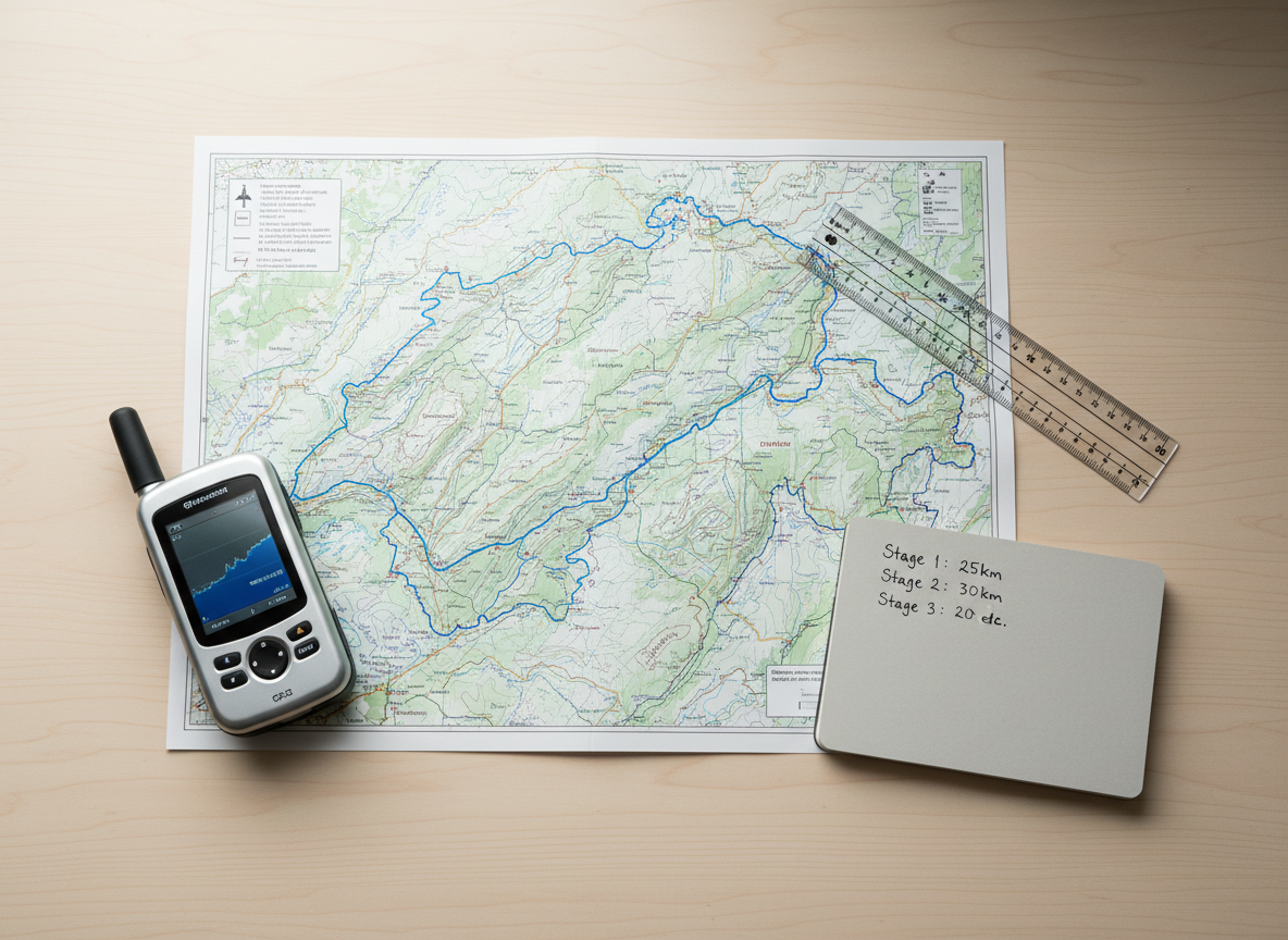
Wir zeigen dir bewährte Etappenvorschläge entlang der Aare, inklusive Kilometerangaben, Höhenprofilen und Bahnanschlüssen. So findest du leicht die passende Tageslänge für deine Kondition und dein Zeitbudget.

A photographic, mid-distance view of a calm Aare section near a Swiss town, with a well-maintained riverside path and discrete signage for the long-distance route toward Grimsel. The river, a clear blue-green ribbon, flows gently alongside a grassy embankment reinforced with neatly placed stones. Modern metal signposts with yellow and red hiking route indicators stand at the path’s edge, their symbols crisp and legible. The sky is bright but slightly overcast, giving even, neutral lighting that reduces contrast and allows all details to be clearly visible. Captured from a slightly elevated angle with sharp focus, the composition is balanced and informative, ideal for illustrating route infrastructure and accessibility on a professional travel guide site.

Zu jeder Etappe erhältst du Kartentipps, GPS-Tracks und Hinweise zu Wegvarianten am Fluss. Dadurch kannst du deine Aare-Wanderung flexibel an Wetter, Lust und Ausrüstung anpassen.

Kontakt Aareteam

Schreib uns bei Fragen zu Etappen, Anreise oder Ausrüstung. Wir antworten mit persönlichen Tipps für deine Aare-Tour.

← Zurück

Vielen Dank für deine Antwort. ✨

Newsletter

Aktuelle Etappen-Updates direkt in dein Postfach.